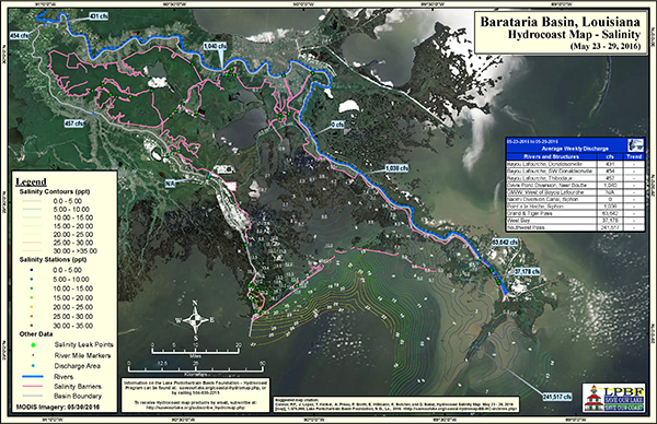
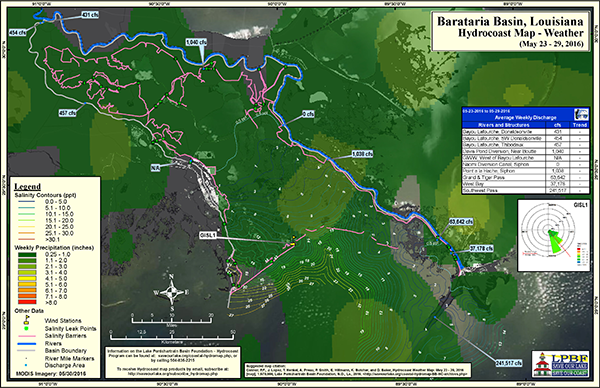
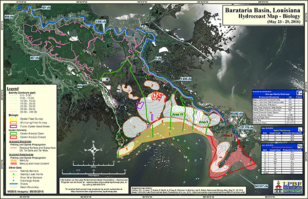
The Hydrocoast program collects a number of environmentally dynamic datasets in an effort to monitor the condition (salinity component) of the basin’s estuaries. Wind, rain, tides and freshwater influx from streams and diversions are variables that cause salinity fluctuation, and play a vital role in the health of the basin’s estuaries. The Hydrocoast program monitors these variables over a seven day period and produces bi-monthly map products showing the movement of water and salinity across the basin (using field data, MODIS, satellite imagery, precipitation data, wind data and permanent monitoring stations in the basin such as USGS buoys, Coastwide Reference Monitoring System (CRMS), etc.). As a tool, these map products can be used for scientific discussion, restoration planning between state and federal agencies, and by the commercial and recreational fishery community.


The Barataria Hydrocoast Maps will be surveyed and released every eight weeks on the following schedule:
July 18-24
September 12-18
November 7-13
January 2-8
February 27 - March 5
Click here Click here to sign up to receive Hydrocoast Maps for Pontchartrain and Barataria Basins by Email.
###


The Barataria Hydrocoast Maps will be surveyed and released every eight weeks on the following schedule:
July 18-24
September 12-18
November 7-13
January 2-8
February 27 - March 5
Click here Click here to sign up to receive Hydrocoast Maps for Pontchartrain and Barataria Basins by Email.
###
|
To subscribe, send an email from the address you want subscribed to:
ListServer@nwrccom.cr.usgs.gov with the subject "subscribe cwppra" without the quotation marks. |
Connect with us:
|
|
|
|
||
|
Submit CWPPRA Newsflash Requests to: ladnerk@usgs.gov
|
||
|
|
||

